
GPS devices are used so frequently in today’s age that not many people even think about it. It’s built into every cellphone, we use Google Maps for directions or to find a new restaurant. We use GPS when golfing to pinpoint exactly how far away we are from the green. So, it makes absolute sense that GPS technology could be applied to hiking and outdoor recreation.
The best hiking GPS should be rugged and water-resistant, have replaceable batteries, possess excellent satellite reception in remote places, and contain several features designed for hiking. Let us take a closer look at what those features are that are designed specifically for hiking and break down the fundamentals of GPS technology.
Tip: Also check out our best swags for 2021!
In This Post:
Our Top 6 Pick Up


![Garmin GPSMAP 64sx Handheld GPS [GARMIN WARR]](http://shoestring.com.au/wp-content/uploads/2020/11/garmin-gpsmap-64sx-handheld-gps-garmin-warr.jpg "Best Hiking GPS - Top 6 Buyers Guide For 2021 4")

![Garmin eTrex 32X Handheld GPS [GARMIN WARR]](http://shoestring.com.au/wp-content/uploads/2020/11/garmin-etrex-32x-handheld-gps-garmin-warr.jpg "Best Hiking GPS - Top 6 Buyers Guide For 2021 6")

GPS Introduction
What does gps stand for and what is it? GPS, which stands for global positioning system, was first launched in 1978 by the United States military. The global positioning system relies on 31 satellites orbiting the earth to transmit location data to anyone on the earth, or near the earth that is using a GPS device to receive signals from four or more satellites at one time.
The four or more satellites work together to geo-position a target on earth with precision and accuracy. GPS works anywhere on the earth but can have a weakened signal, or may not be able to geolocate a target if there are large obstructions like mountains and buildings. For the most part, however, GPS can pinpoint almost any target and has strong positioning capabilities that are used by military, civilian, and commercial users all over the world.
It is important to stress that GPS is owned, operated, and maintained by the United States military. That is why other countries have launched their own satellites and have created their own geolocation systems. For the most part, you can access those systems from some personal GPS devices to increase the quality and coverage of your geolocation data. The other countries that have their own systems are China, the EU, India, Japan, and Russia.
What is a GPS?
A GPS is a receiver that receives radio waves from specialized satellites orbiting the earth at all times to determine your location on the earth. GPS is automatically a fundamental part of cell phones. You may also buy specialized GPS devices for hiking, driving, golfing, and many other recreational uses.
How Does a GPS Work?
The fundamentals of GPS technology may seem complicated, but when broken down, its pretty simple. GPS specialized satellites containing atomic clocks orbit the earth and synchronize their time with ground clocks. Any time separation is monitored and corrected daily. Each satellite transmits a radio signal giving its current time and position. The radio signal is constant and the speed of the signal is sent and received independently from the speed the satellite is travelling. When a GPS device receives a radio signal from a satellite, it receives data about the distance of the satellite from the receiver. When a GPS device receives signals from four or more satellites, it then calculates the distance and time data received from the four different satellites to determine the GPS device’s exact location on earth.
What are GPS Receiver Functions?
Your GPS device will have some basic and advanced features. Here is an explanation of some of the more basic functions of a GPS receiver.
Display Position: The display position tells you exactly where you are at and displays your coordinates. It will also show you where you are on a map, or even better, a topographic map.
Navigate: A GPS receiver gives you direction and distance to a location. You can pre-mark locations called way-points before you begin your hike. Just punch in the different coordinates of each way-point and mark your end-point and you can follow the GPS navigation system for the entirety of your hike.
Saved Track Records: Track records can be recorded by your GPS device. This works by leaving track points every so often on your hike to track the path you have travelled. Once back at home or camp, you can review your hike and see your elevation changes, total distance, and time.
Display Trip Data: Your trip data is displayed like an odometer on your car. Your GPS device will let you know how far you have travelled, for how long, and how high you have climbed. All in real-time.
Hiking GPS Buying Guide
When shopping for a new handheld gps, or hiking gps, you will be hit with a plethora of features that may be overwhelming. Everything from the GPS’s construction and weight, to which data is used and what the intended uses of the gps are. Let us examine these features and explain a little bit about each one.
Maps
Your GPS device should come with a basic world map however, you can find devices that have detailed topographic maps and even marine navigation maps with depths. If you intend to do some serious hiking in mountainous regions, then investing in a device that contains detailed topographic maps may be better for planning your hikes.
Touchscreen vs Button
Very basic. Some devices may have a touch screen and others will only have a display screen with buttons on the sides and around the display screen. If your hikes tend to be more rugged and your device could take a small beating, it is advised to not get a device with a touchscreen. Touchscreens are much more fragile and susceptible to damage.
Receiver Types: GPS, GLONASS, GALILEO
GPS devices receive data from satellites that are continuously orbiting the earth. The receiver type just means which satellites it uses. GPS are satellites belonging to the United States, GLONASS belongs to Russia, and Galileo belongs to the EU.
Screen Size
Screen size in terms of resolution and not physical size is important if you have finely detailed topographic maps that you need to be displayed. The higher the resolution, the more detail. Also, a higher resolution screen will have better zoom capabilities.
Battery Type and Life
Whatever battery type you have, you will need to be sure you pack extras in case you need to do a battery change out on the trail. Most units take rechargeable or sing-use AA or AAA batteries. Some take rechargeable Li-ion batteries as well.
Construction
Most GPS devices are constructed with an IPX7 waterproof rating. An IPX7 rating means your device is waterproof when submerged in water no more than one metre deep and for no longer than 30 minutes.
Weight and Dimension
Consider weight and dimension for conserving on weight and space when hiking.
Features Included
Some other features a GPS receiver may contain are geocaching capabilities, a compass, barometric altimeter, and possibly a camera. All are great additional features if you know how and want to use them, but not entirely necessary.
Best Hiking GPS Reviews
Garmin Montana Touchscreen Hiking Handheld GPS
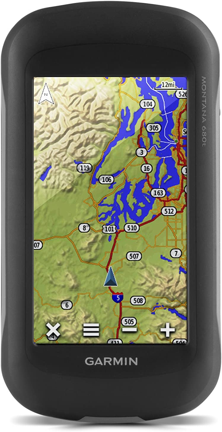
This garmin handheld gps is packed full of all the necessary features required for an excellent hike. Includes a rechargeable lithium battery with up to 16 hours of runtime. A good amount of time for a full day of hiking. Simply plugin and recharge when you are back at camp. This garmin hiking gps is the perfect hiking gps for Australia due to its capability of using both GPS and GLONASS positioning satellites.
- RRP: $469.72
- Battery: Li-ion battery with 16 hours of runtime and runs on AA batteries for up to 22 hours.
- Display Size and Pixels: 5.06 x 8.93 cm screen.
- Dimensions: 14.47L x 7.36W x 3.55H
- Weight: 0.289 Kg
- Map: Topographic
- Track Log: 10,000 points and 200 saved tracks
- Other Features: Wireless. 250,000 preloaded geocaches. Track manager. Includes 8-megapixel digital camera.
Pros: Uses both GPS and GLONASS satellite data. Batteries included. 2 GB of memory storage capacity. 8-megapixel camera.
Cons: Expensive.
Garmin Etrex Touch 35

This Garmin hand held gps is one of the more simple garmin devices that still contains a great number of special features. This is the best handheld gps for hiking due to its hiking tracker, barometric altimeter for accurate elevation readings, and built-in digital compass.
- RRP: $299.99
- Battery: 2-AA batteries or NiMH or Lithium recommended (not included). 16 hours of runtime.
- Display Size and Pixels: 3.6 X 5.5 cm
- Dimensions: 10.16L x 5.84W x 3.3H cm
- Weight: 0.16 Kg
- Map: Topographic
- Track Log: 10,000 points, 200 saved tracks.
- Other Features: 3-axis title compass and barometric altimeter. 250,000 preloaded geocaches.
Pros: Uses both GPS and GLONASS satellites. Lightweight and compact. 16 hours of runtime. Highly detailed topographic map.
Cons: Expensive.
Garmin GPSMAP
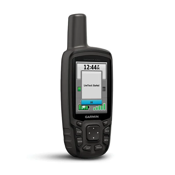
According to garmin gps reviews, people cannot stop saying good things about this Garmin GPS device. It includes some of the best garmin topo maps, and specifically, topo maps of Australia. This is the best garmin gps for the outdoor enthusiast who can be a little rough with their equipment. Built tough for longevity and consistent use.
- RRP: $399.00
- Battery: 2-AA batteries.
- Display Size and Pixels: 3.8 x 6.3 cm
- Dimensions: 16.25L x 6.35W x 3.55H cm
- Weight: 0.23 Kg
- Map: Topographic
- Track Log: Not given.
- Other Features: Extended wireless. USB cable. Carabiner clip. Compass. Barometric altimeter.
Pros: Compact. Includes many special features. Attaches to a carabiner clip.Includes active weather updates. Built for rugged conditions.
Cons: Expensive.
Garmin GPSMAP 64SX Handheld GPS

The garmin gpsmap 64SX is the best hiking gps and the best handheld gps for hunting in Australia because it comes preloaded with finely detailed 100k Australian topographic maps.This portable gps also comes preloaded with 100K United States topographic maps as well.
- RRP: $349.99
- Battery: 2-AA batteries with up to 16 hours of runtime.
- Display Size and Pixels: 6.6 cm with 160 x 240-pixel display.
- Dimensions: 16L x 6.09W x 3.55H cm
- Weight: 0.22 Kg
- Map: Topographic
- Track Log: Not given.
- Other Features: Preloaded with 100k US and Australian topographic maps. Bluetooth wireless capabilities. Messenger application installed.
Pros: Uses GPS, GLONASS, and Galileo satellite support. Long battery life. Durable. Wireless connectivity via Bluetooth.
Cons: Expensive.
Garmin inReach Explorer+
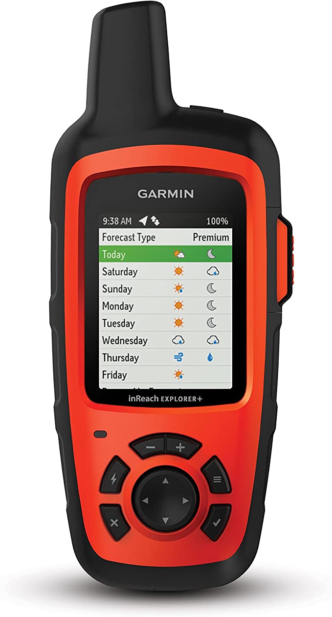
The Garmin inReach Explorer+ gps unit is the best gps for the solo hiker.Whenever possible, it is better to go hiking with someone, but if that is not the case, then this gps navigation device has a built-in SOS alert system. It also has a tracking system that automatically sends location updates to friends and family. Built tough and has a waterproof rating of IPX7.
- RRP: $449.99
- Battery: Rechargeable lithium-ion battery.
- Display Size and Pixels: 5.84 cm screen with 200 x 265 display pixels.
- Dimensions: 16.51L x 6.85W x 3.81H cm
- Weight: 0.22 Kg
- Map: Topographic
- Track Log: Track and share your location for safety.
- Other Features: Carabiner clip. USB cable. Bluetooth enabled. Wireless. SOS feature and access to a 24/7 search and rescue monitoring centre.
Pros: Uses preloaded Delorme topo maps. Digital compass. Barometric altimeter and accelerometer.
Cons: Expensive.

As for a garmin hand held gps, the Garmin eTrex 32X is the best navigator and has the best off road navigation system. The Garmin eTrex 32X has preloaded topographic maps that cover all your off-road adventures. One of the best gps navigation devices for cycling and hiking with built-in GPS and GLONASS garmin gps navigation.
- RRP: $299.99
- Battery: 2-AA batteries with up to 25 hours of runtime.
- Display Size and Pixels: 5.58 cm screen with 240 x 320 display pixels.
- Dimensions: 10.16L x 5.33W x 3.3H cm
- Weight: 0.14 Kg
- Map: Topographic
- Track Log: 8 GB of internal memory for tracklog and preloaded topographic maps.
- Other Features: Barometric Altimeter and 3-Axis Compass; GPS and GLONASS Satellite Service
Pros: Compact. Lightweight. Durable. Uses GPS and GLONASS satellite service. The display screen is readable in direct sunlight. Compass and barometric altimeter built-in.
Cons: Expensive.
Garmin Oregon 700 Handheld GPS
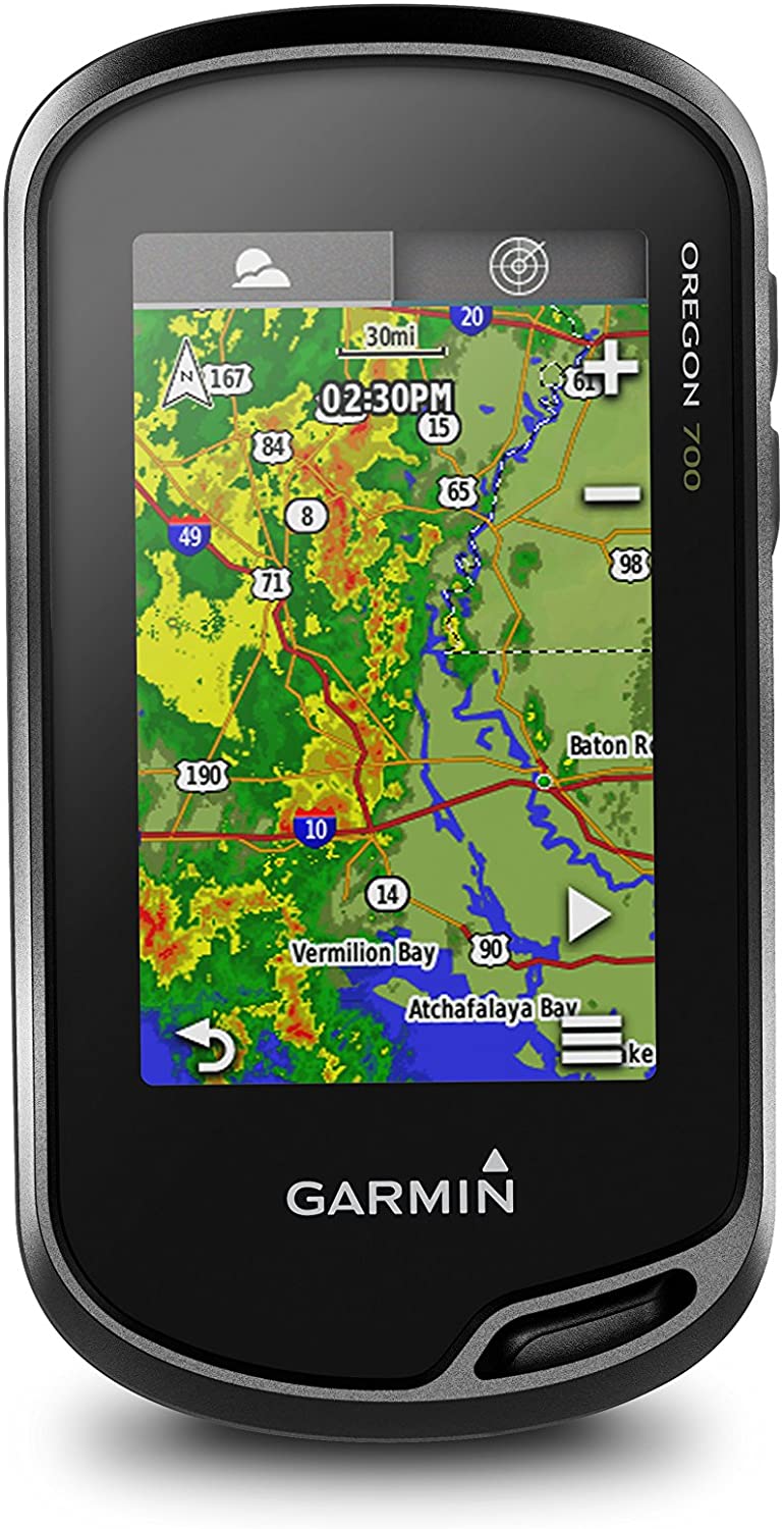
The garmin oregon 750t is one of the best handheld gps units due to its compact size, durability, and IPX7 waterproofing. Take this gps handheld anywhere.Looking for a handheld gps for Australia? Then you have found the ideal device for exploring remote places in the outback.
- RRP: $399.99
- Battery: Lithium-ion battery.
- Display Size and Pixels: 240 x 400 display pixels on a 3.81 cm screen.
- Dimensions: 11.43L x 6.09W x 3.30H cm
- Weight: 0.22 Kg
- Map: Topographic
- Track Log: Not given.
- Other Features: Carabiner clip. USB cable. Wireless. GPS and GLONASS satellite reception. Compass. Accelerometer. Barometric altimeter.
Pros: Compact. Tough. Durable. IPX7 waterproofing.
Cons: Expensive.
Garmin GPSMAP 64 Worldwide

This garmin handheld gps is an easy gps to use. With GPS and GLONASS satellite capabilities enabled and the live track feature, send live updates of your position to friends and family at all times.
- RRP: $249.99
- Battery: 2-AA batteries or an optional rechargeable NiMH battery pack.
- Display Size and Pixels: 6.60 cm screen.
- Dimensions: 16L x 6.09W x 3.55H cm
- Weight: 0.22 Kg
- Map: Topographic
- Track Log: Live Track
- Other Features: GPS and GLONASS satellite access. Powerful antenna. 250,000 preloaded geocaches.Includes heart rate monitor and temperature sensor.
Pros: Compact and lightweight. Ultra-durable. GPS and GLONASS satellite capabilities.
Cons: Expensive.
Magellan SporTrak Map Waterproof Hiking GPS
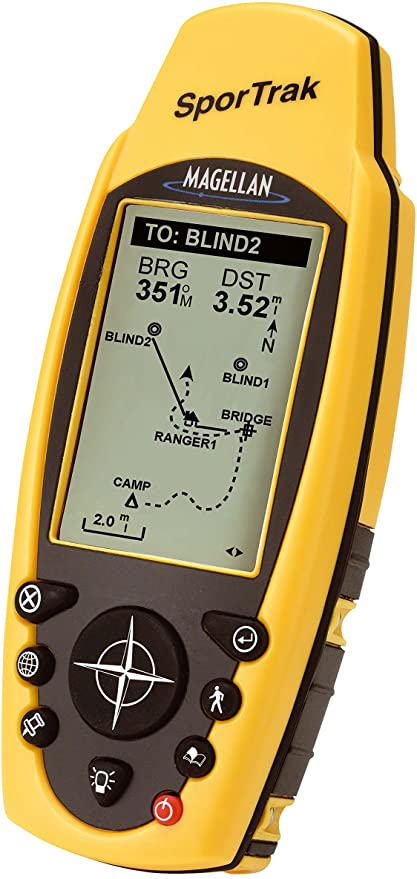
If you need a cheap gps, then the magellan gps for Australia can be found used for a good price. Priced between $69.99 and $109.99, this 2004 model still stands up to the test of time and is completely functional and reliable.
- RRP: $69.99 – $109.99 used.
- Battery: 2 – AA batteries required.
- Display Size and Pixels: 3.55 cm screen.
- Dimensions: 8.8L x 15.24W x 15.24W x 6.85H cm
- Weight: 0.74 kg
- Map: Topographic
- Track Log: Stores up to 20 routes, 500 waypoints and 2,000 track-points.
- Other Features: Waterproof. 9-key keypad.WAAS enabled. 6 MB of memory. Helix antenna.
Pros: Durable. Heavy-duty. Waterproof.
Cons: Old and discontinued.
Magellan Triton 400 Waterproof Hiking GPS

The Magellan Triton 400 Waterproof Hiking GPS is an oldie but a goodie and available used starting at $79.94. Get a quality GPS unit at a fraction of the cost of a brand new one.
- RRP: Starting at $79.94 used.
- Battery: AA batteries.
- Display Size and Pixels: 5.59 cm screen
- Dimension: 21.33L x 15.24W x 7.87H cm
- Weight: 0.45 kg
- Map: Topographic
- Track Log: Not given.
- Other Features: SD card compatible. Compass.Wireless.
Pros: IPX7 waterproofing.
Cons: Old and discontinued.
GPS FAQ
Q: How do I use a GPS?
GPS is easy to use. Simply turn on your device and let it sync up with the GPS or GLONASS satellites. Each GPS devices includes an owner’s manual.
Q: Is a hiking GPS necessary when hiking?
If you are hiking well-marked trails at all time or hiking locally, then no you do not need a GPS at all times.
Q: Are there additional costs for maps?
There are thousands of free maps available for download. There may be charges for premium maps.
Q: How much does a hiking GPS cost?
You will spend several hundred dollars on a quality GPS device.
Q: Is it possible to connect my hiking GPS to my smartphone or PC?
Yes, most GPS devices come with a USB cable or can connect wirelessly to your smartphone or PC.
Tip: Check our ultimate guide to the best pillows for camping in Australia!